
 Our Renewable Energy Projects
Topomaster has been involved with the development of onshore wind power generation sites often using aerial lidar to map the terrain to enable design of the optimum turbine locations, access roads and conductor cable connections to the national grid.
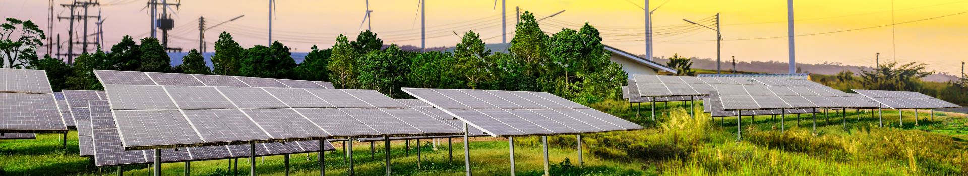
Other ‘green energy’ projects include satellite derived DTM’s to create ‘aspect maps’ at the feasibility stage (no ground access needed), the topographical survey before detailed design of the panel layouts and cabling, plus setting out of the designed solar arrays.
The Use of UAVs
Using drones, we can provide high resolution RGB imagery of your wind farm or solar installation as well as thermographic imagery. This thermal imaging will allow us to identify damaged solar panels as we see a difference in temperature compared to adjacent cells. Using drones reduces the health and safety implications of accessing hard to reach areas and provides a visual site condition inspection.
Site Management – From Start to Finish
We provide geodetic services for all stages of site management, from supplying airborne LiDAR or land surveys to identifying optimal sites for turbine and solar panel installation to setting out the site for construction and piling. We can also provide as-built surveys and provide a monitoring service for maintaining sites.
Our topographical survey services have been used to create a ‘clearance map’, to determine if the delivery of wind turbine blades and towers is possible down the narrow approach lanes that exist around many new wind farm development sites. Contact us if you wish to discuss our renewable energy services in greater detail.